|
|
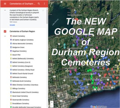
Cemeteries of Durham Region Prepared
by the Ontario Ancestors
|
|
Bethel Cemetery (Shirley Road)
| Description |
|
|||||
|
A small former churchyard. Bethel Church was closed and sold in 1957. Only three stones stand, and it is not known if there were others. Sometimes called Shirley Road Cemetery. |
||||||
| Directions to Cemetery | ||||||
|
Part of Lot 1, Concession 3 of the former Cartwright
Township. GPS 44.06511, -78.8817 (DMS N44.03.898 W078.52.910) |
||||||
| Transcription Purchase Information | ||||||
| Transcriptions of the cemeteries in Durham Region are available for digital download from the Ontario Ancestors Marketplace. |
||||||
| Available Transcriptions | ||||||
|
An on-line index is available for those titles which are underlined.
|